


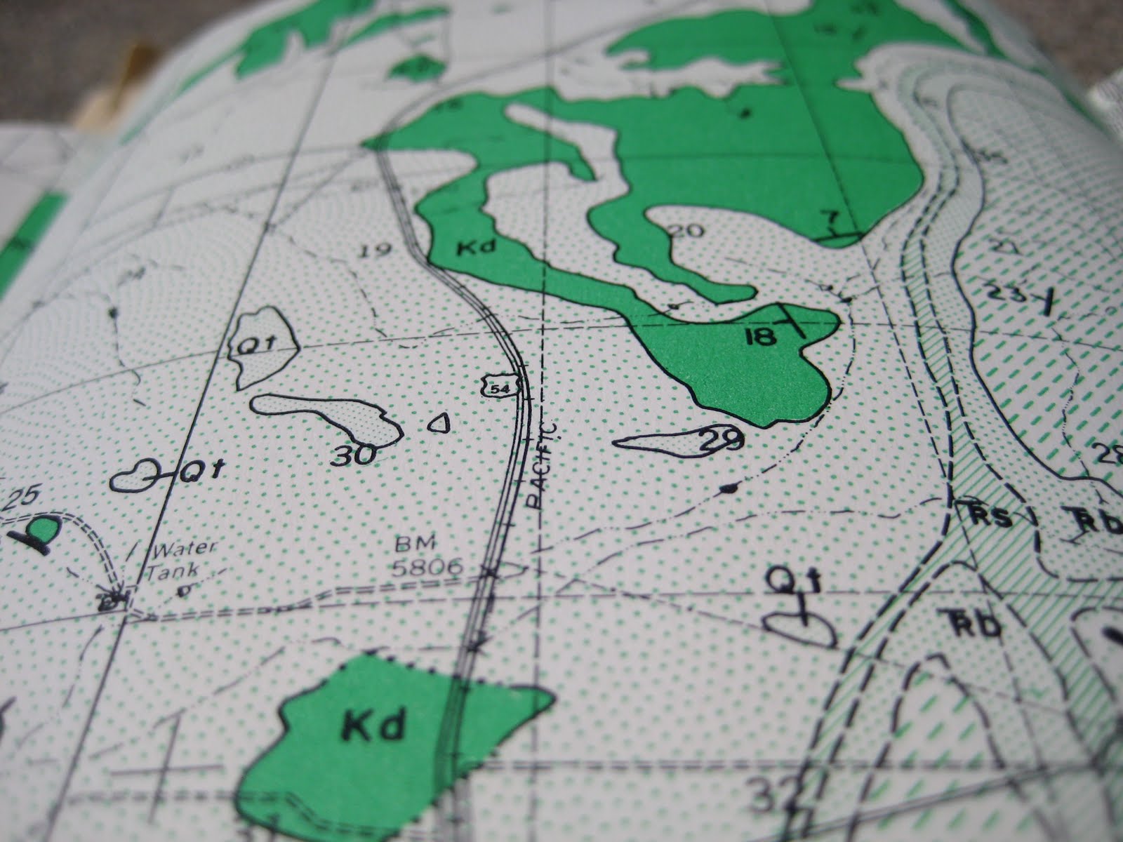
Pretty, right? So, if you've never looked at a geologic map before, you might be wondering about all the different patterns and colors. Well, they represent the different types of rocks present in the area. Each of the maps comes with a handy key (psssst...look to the right).

The key is organized according to the order of deposition: generally, oldest rocks on the bottom, newer rocks on the top. Hey, that's an example of the Law of Superposition! So when we read this key, we can see that the Dakota formation is older than the Mancos shale. You may also note that between the Mancos shale layer and Agglomerate and Tuft layer, there's something called an Unconformity.

What's an unconformity? Well, it's an indication that the deposition of sediment, sand, silt, mud, etc. (which will eventually become sedimentary rock), was interrupted for a time. You can think of it as a gap in the rock record--sometimes this gap is due to the fact that no new sediments were deposited and sometimes the gap is caused by erosive forces (water or chemicals, wind, glaciers) eating away at the already deposited layers of rock. So, there's a chunk of time which is unrepresented in the record. Eeeeek! Missing time!

See the brackets on the right? Those mark off the geologic time boundaries. Cretaceous is abbreviated K. Hey, you know when the dinosaurs were wiped out? 65 million years ago? That was the end of the Cretaceous! And that boundary is called the K-T boundary because it marks the end of the Cretaceous Period and the beginning of the Tertiary Period (also the end of the Mesozoic Era and the beginning of the Cenozoic Era...which, if you'll recall, we are still in).
Isn't that terrific?!
I think so. In fact, I know so.

What an amazing find!
ReplyDeleteThese are absolutely gorgeous!
Wishing you all the best,
Mary
Mixed-Media Map Art
Thanks, Mary! I love all the map amazingness on your blog!
ReplyDelete