Showing posts with label Supereon. Show all posts

Friday, July 1, 2011

Map-tastic!

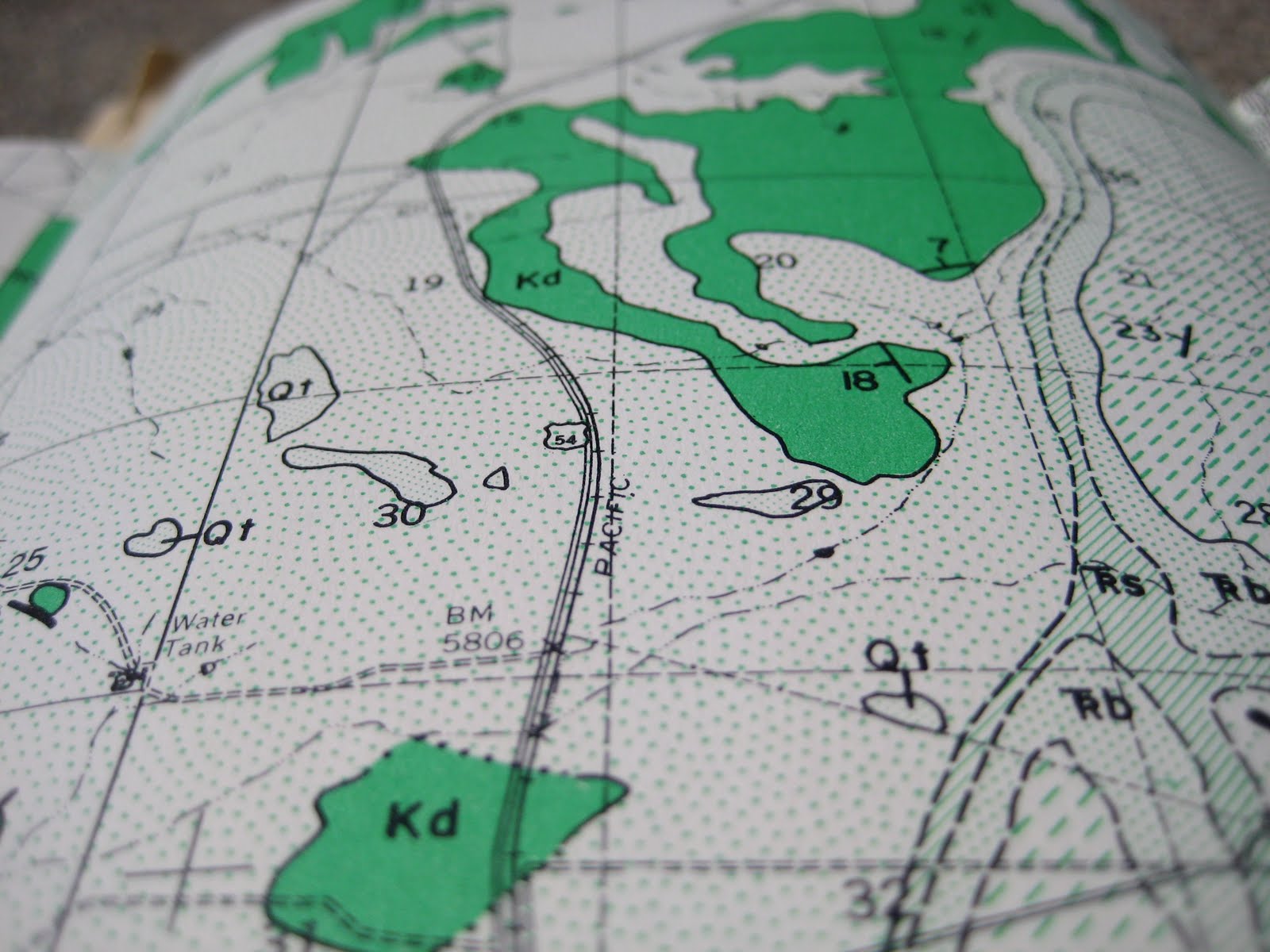
Geology maps: exciting, yeah? I think so. In fact, I know so. I found a treasure trove of geologic maps, circa 1957, at a used bookstore in Spokane. They were all discounted 50%, so no duh, I bought them all. Yup, $7.50 worth of vintage geologic maps from Socorro, New Mexico. Although, I'm not quite sure what I'll do with them (other than study them intently in Manito's Rose Garden), they weren't exactly something I would ever consider passing by. Even if my geologic map reading skills are a tad rusty, they're still gorgeous. Scroll down and take a look-see. 


Pretty, right? So, if you've never looked at a geologic map before, you might be wondering about all the different patterns and colors. Well, they represent the different types of rocks present in the area. Each of the maps comes with a handy key (psssst...look to the right).  


The key is organized according to the order of deposition: generally, oldest rocks on the bottom, newer rocks on the top. Hey, that's an example of the Law of SuperpositionSo when we read this key, we can see that the Dakota formation is older than the Mancos shale. You may also note that between the Mancos shale layer and Agglomerate and Tuft layer, there's something called an Unconformity.


What's an unconformity? Well, it's an indication that the deposition of sediment, sand, silt, mud, etc. (which will eventually become sedimentary rock), was interrupted for a time. You can think of it as a gap in the rock record--sometimes this gap is due to the fact that no new sediments were deposited and sometimes the gap is caused by erosive forces (water or chemicals, wind, glaciers) eating away at the already deposited layers of rock. So, there's a chunk of time which is unrepresented in the record. Eeeeek! Missing time!


See the brackets on the right? Those mark off the geologic time boundaries. Cretaceous is abbreviated K. Hey, you know when the dinosaurs were wiped out? 65 million years ago? That was the end of the Cretaceous! And that boundary is called the K-T boundary because it marks the end of the Cretaceous Period and the beginning of the Tertiary Period (also the end of the Mesozoic Era and the beginning of the Cenozoic Era...which, if you'll recall, we are still in)
Isn't that terrific?! 


I think so. In fact, I know so. 


Monday, September 27, 2010

2. We drive. We dig.

What type of trees are these? Well, some of them are dead trees.
Republic, WA was the destination. For those not familiar: Republic is in the Northeastern area of Washington, around 130 miles from Spokane and 40 miles from British Columbia. We drove the Sherman Pass scenic byway (to the right), which features lovely trees, such as the Ponderosa Pine, the Douglas Fir, and the Western Larch ("No 1: The Larch. The. Larch." Monty Python's Flying Circus--anyone? Anyone?).


I purchased a postcard at the drugstore, and this postcard happened to feature a mural (I never actually saw the original) which informed me that Republic was "the most successful long term gold producing area in the State of Washington." Hmm. You know what else Republic has produced in the long term? Fossils! Yup, Mom and I took a journey through geologic time to visit Stonerose Interpretive Center and Eocene Fossil Site.

I found this chart for you! Hey, where are the eons?
And why 
does it list different times for the Eocene?
OK, I know there are a few problems, but just look
at all the colors! Trade off! 
Does this caption seem
condescending? 
Or are you not even reading it?

Now I'm going to nerd out for a second or two or three.


Background info:
The Eocene Epoch covers 58 m.y.a to 36 m.y.a (m.y.a = million years ago; b.y.a {not surprisingly} = billion years ago!). Geologic time is divided into Supereons, Eons, Eras, Periods, and finally Epochs. We're currently in the Phanerozoic Eon (which, I admit, I had to look up), in the Cenozoic Era, in the Quaternary Period, in the Holocene Epoch (I did not have to look those up. Nerd!). So we're talking post-dinosaur here. (Remember: dinosaurs died out about 65 m.y.a. Sad? Yes. No. Maybe.) During the Eocene, much of the Pacific Northwest was coming together--terranes (large assemblages of rock with roughly the same origin) were being dragged toward the continent and smashed up, down, and all around to form the North Cascades and so on.


OK, I'm really digressing. Back to Republic.

Republic is part of a horst and graben (it's pronounced "graw ben", Mom {German for ditch}) formation. It's basically a chunk of the crust that's dropped as a result of movement along faults. It looks sort of like this: \_/ With the back and forward slashes representing the fault lines and the underscore representing the graben. The horsts are the sections of crust that are higher relative to the surrounding sections. Can I find an illustration of this? I bet I can.

Horsts up. Grabens down.


Enough background. During much of the Eocene, Republic and the surrounding area was underwater, the floor of an ancient lake. Just think of all the crap that lives, dies, and happens to float or fall into lakes everywhere. Well, some of the crap that ended up on the bottom of the Republic lake was covered by lake sediment and volcanic ash. If the conditions are just right--i.e., deposition of sediment occurs quickly enough that the organic materials are not disturbed by currents or predators--the little leaves, insects and fishes can be preserved as a carbon imprint in the shale. And the conditions were just right in Republic. FOSSILS!

Related Posts Plugin for WordPress, Blogger...